Living in Hawaii means trading four seasons for perpetual summer — and trading tornadoes and blizzards for a different set of natural hazards. After years on the islands, I can tell you most days are exactly the postcard. But every resident eventually learns that paradise has its own weather report, and knowing what to watch for is just part of the deal.
This is the honest, no-panic guide every new Hawaii resident wishes they had on arrival. We’ll walk through the real risks — hurricanes, tsunamis, volcanic activity, earthquakes, flash floods, wildfires, and vog — how often they actually happen, and exactly what locals do to prepare.
How Risky Is Hawaii, Really?
Let’s start with perspective. The Hawaiian Islands are geologically active and sit in the middle of the Pacific, so yes, the hazard list is longer than most places. But the frequency of truly damaging events is lower than the headlines suggest. Kauai hasn’t taken a direct hurricane hit since Iniki in 1992. The last destructive Pacific-wide tsunami to reach Hawaii was 1960. Kilauea erupts often, but its lava almost always stays within Hawaii Volcanoes National Park or remote parts of the Big Island’s Puna district.
The disasters that actually disrupt daily life for most residents are the smaller, more frequent ones: flash floods after a heavy kona storm, brush fires during dry leeward summers, and vog (volcanic smog) drifting across the islands when Kilauea is active.
Hurricanes and Tropical Storms
Hawaii’s hurricane season runs June 1 through November 30, peaking in August and September (see our complete Hawaii hurricane season guide for prep details). The good news: the cool waters around the islands usually weaken storms before landfall, and the Hawaiian climate is generally more forgiving than the Atlantic or Gulf Coast.
The bad news: when a storm does track close, the islands are small targets with nowhere to evacuate off-island on short notice. Hurricane Iniki (1992) hit Kauai as a Category 4 and caused roughly $3 billion in damage. Hurricane Lane (2018) dumped more than 50 inches of rain on the Big Island without ever making landfall.
What Locals Actually Do
- Build a 14-day kit, not 3. FEMA says 72 hours. Hawaii Emergency Management says two weeks. Ports can close, and the islands import about 85% of their food.
- Stock water first: one gallon per person per day. Costco and Foodland run out fast once a storm is named.
- Know your zone. Honolulu, Kauai, Maui, and Hawaii County all publish hurricane evacuation maps online.
- Fuel up early. Gas stations get rationed within hours of a watch.
- Propane, headlamps, a battery bank, and a hand-crank radio. Power outages can last days, especially on rural stretches.
Tsunamis
Hawaii sits in the center of the Pacific “Ring of Fire,” which means any major subduction-zone earthquake from Japan to Chile can send a wave our way. The 1946 Aleutian tsunami killed 159 people in Hawaii, most of them in Hilo. The 1960 Chilean tsunami killed another 61 in Hilo. Since then, a sophisticated warning system — the Pacific Tsunami Warning Center, founded in Ewa Beach in 1949 and now based on Ford Island in Pearl Harbor — gives most distant-source tsunamis hours of lead time. For the current status and a step-by-step plan, see our Hawaii tsunami warning guide.
The real danger is a local-source tsunami from a large earthquake on one of the islands. In that case you may only have minutes. The rule every local knows: if the ground shakes hard enough that you can’t stand, head to high ground immediately. Don’t wait for a siren.
Sirens and Evacuation Zones
The statewide outdoor siren system is tested on the first working day of each month at 11:45 a.m. If you hear it any other time, turn on the radio or check local news. Tsunami evacuation maps are posted in every phone book (yes, still) and at dod.hawaii.gov/hiema. If you live within the yellow zone, know two routes out, because the main one will be jammed.
Volcanic Activity and Lava Flows
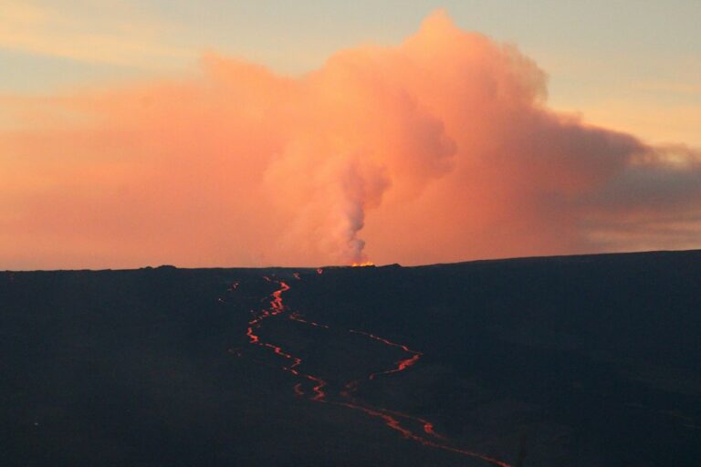
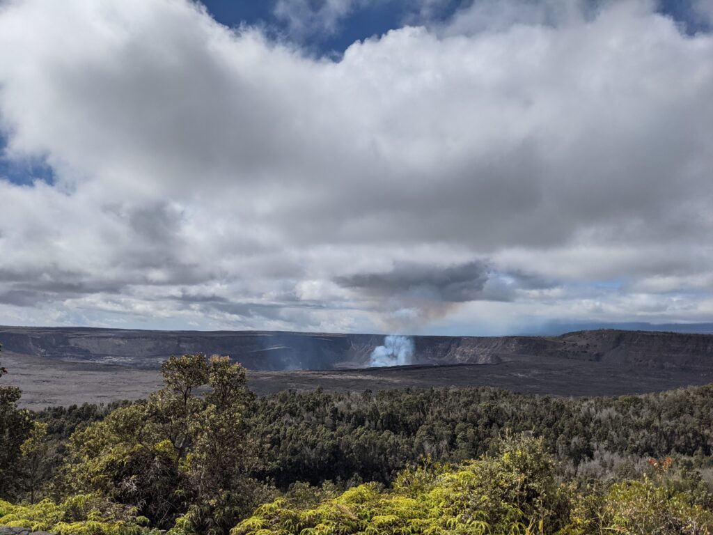
Only the Big Island has active volcanoes — Kilauea and Mauna Loa. Mauna Loa erupted in late 2022 for the first time in 38 years; Kilauea has been intermittently active for decades, with a major eruption in 2018 that destroyed more than 700 homes in lower Puna.
If you’re thinking about moving to the Big Island, lava zone maps matter. The USGS rates the island in nine zones, from 1 (highest risk, most of Puna) to 9 (lowest, the Kohala coast). Zone 1 and 2 properties are cheaper for a reason — insurance is harder to get, and lava flows, while slow, are unstoppable.
Earthquakes
Hawaii is the most seismically active state after Alaska. The Big Island averages thousands of tiny quakes a year, most related to magma movement. A magnitude 6.9 struck in May 2018 during the Kilauea eruption. A 6.2 hit in October 2006 and knocked power out across Oahu for nearly a day.
Most homes here are single-story wood frame — surprisingly good at riding out shaking. Bolt heavy furniture to walls, secure water heaters, and keep shoes under the bed.
Flash Floods
This is the hazard that actually catches residents off guard the most. Hawaii’s steep terrain turns a quick downpour into a wall of water in minutes. Dry streambeds on the leeward side can become deadly torrents during winter kona storms.
Never camp in a dry riverbed. Don’t cross flooded roads — Turn Around, Don’t Drown is repeated for a reason. Hikers should check the NWS Honolulu forecast before heading into valleys like Manoa, Kalihi, or the Na Pali backcountry. Flash flood fatalities in Hawaii almost always involve hikers caught in narrow canyons.
Wildfires
The 2023 Lahaina fire changed how everyone on the islands thinks about this. In a few catastrophic hours, a wind-driven blaze swept through historic Lahaina town on Maui, killed at least 102 people, and destroyed thousands of structures. It was the deadliest U.S. wildfire in more than a century.
The culprit: decades of fallow sugarcane and pineapple land overgrown with non-native fountain grass and guinea grass, plus hurricane-force downslope winds from a distant storm. Fire risk is now a permanent part of the conversation on the leeward sides of Maui, Oahu, and the Big Island — especially August through October.
Reducing Your Risk
- Clear defensible space: 30 feet minimum around the house, 100 feet ideal.
- Use metal screens on vents to block ember intrusion.
- Sign up for your county’s emergency alert system (Nixle or the new state-level Wireless Emergency Alerts).
- Keep a go-bag by the door during red flag conditions.
Vog and Air Quality
Vog — volcanic smog — is the low-grade hazard nobody warns you about. When Kilauea is erupting, sulfur dioxide and fine particulates drift with the trades, usually pooling on the Kona side of the Big Island and occasionally reaching Maui and Oahu. It irritates eyes, throats, and anyone with asthma.
Check vog.ivhhn.org or the state DOH air quality page before planning outdoor activity on heavy vog days. An N95 helps; HEPA air purifiers indoors help more.
Insurance: The Quiet Disaster
One thing that surprises newcomers is how disaster risk affects the cost of living in Hawaii. Standard homeowners policies here exclude hurricane, flood, and lava. You buy those separately:
- Hurricane insurance through the Hawaii Hurricane Relief Fund or private carriers — typically $800–$2,500/year depending on location and coverage.
- Flood insurance through NFIP if you’re in a flood zone — $400–$1,800/year.
- Lava Zone 1 and 2 properties often can’t get lava coverage at all, which is why mortgages there are harder to secure.
Building Your Hawaii Emergency Kit
Here’s the core checklist every local household should have:
- 14 days of water (1 gallon/person/day)
- 14 days of non-perishable food
- Manual can opener
- First aid kit + prescription meds (2-week supply)
- Flashlights, headlamps, extra batteries
- Hand-crank or battery NOAA weather radio
- Phone chargers + a 20,000+ mAh power bank
- Cash in small bills (ATMs and card readers go down)
- Copies of ID, insurance, deed in a waterproof bag
- Propane stove or camp stove + extra fuel
- N95 masks (fires, vog)
- Tarps, duct tape, basic tools
- Pet food and carriers
Costco, Don Quijote, and Longs Drugs all stock this stuff year-round, but shelves empty fast when a storm is named. Build the kit in May, before hurricane season.
The Local Mindset
Here’s the thing nobody tells you: people who’ve lived on the islands a long time aren’t nervous about natural disasters. They’re prepared. There’s a difference. You check the forecast, you keep your kit topped up, you know your evacuation zone, and then you go surf. The ocean doesn’t care about your anxiety, and neither does the volcano. Respect, preparation, and a good radio — that’s the whole playbook.
If you’re thinking about making the jump, read through our moving to Hawaii checklist and factor this stuff in early. It’s not scary — it’s just part of being a good island neighbor.
Frequently Asked Questions
How often does Hawaii get hit by hurricanes?
Direct hits are rare — Hawaii averages one hurricane landfall roughly every 12–15 years. However, tropical storms and close passes happen more frequently, about once every 1–2 years during the June–November season.
Is it safe to live on the Big Island with the active volcanoes?
Yes, for most of the island. Lava Zones 3 through 9 — which cover Kona, Waimea, Waikoloa, Hilo, and most populated areas — face very low direct lava risk. Zones 1 and 2 in lower Puna carry real risk and should be researched carefully before buying property.
What should I do if I feel a strong earthquake in Hawaii?
Drop, cover, and hold on during the shaking. Once it stops, if you’re in a coastal area and the shaking was strong or lasted more than 20 seconds, move to high ground immediately — don’t wait for a siren. A local-source tsunami can arrive within minutes.
Does homeowners insurance in Hawaii cover hurricanes?
No. Standard policies exclude hurricane, flood, and lava damage. You’ll need to purchase separate hurricane and flood coverage, and lava coverage may be unavailable entirely in high-risk zones on the Big Island.